Streamline Your Logistics with Cutting-Edge Transporter Management: Enhance Efficiency, Tracking, and
Optimization for Seamless Operations and Enhanced Customer Satisfaction!
Whether you’re looking for smart transport management or location-based insights, drop us a message—our team will get in touch shortly.
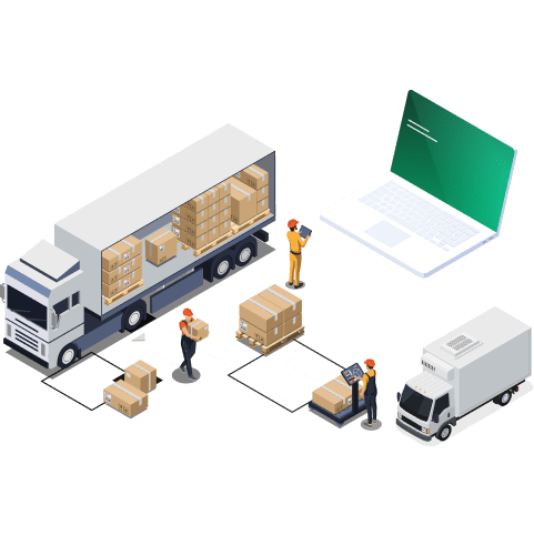
Maximized Capacity, Minimized Costs
Maximized Capacity, Minimized Costs
Dynamic Shipment Scheduling Mastery
Enhanced Stakeholder Collaboration
Enhanced Stakeholder Collaboration
Enhanced Stakeholder Collaboration
Enhanced Stakeholder Collaboration
Enhanced Stakeholder Collaboration
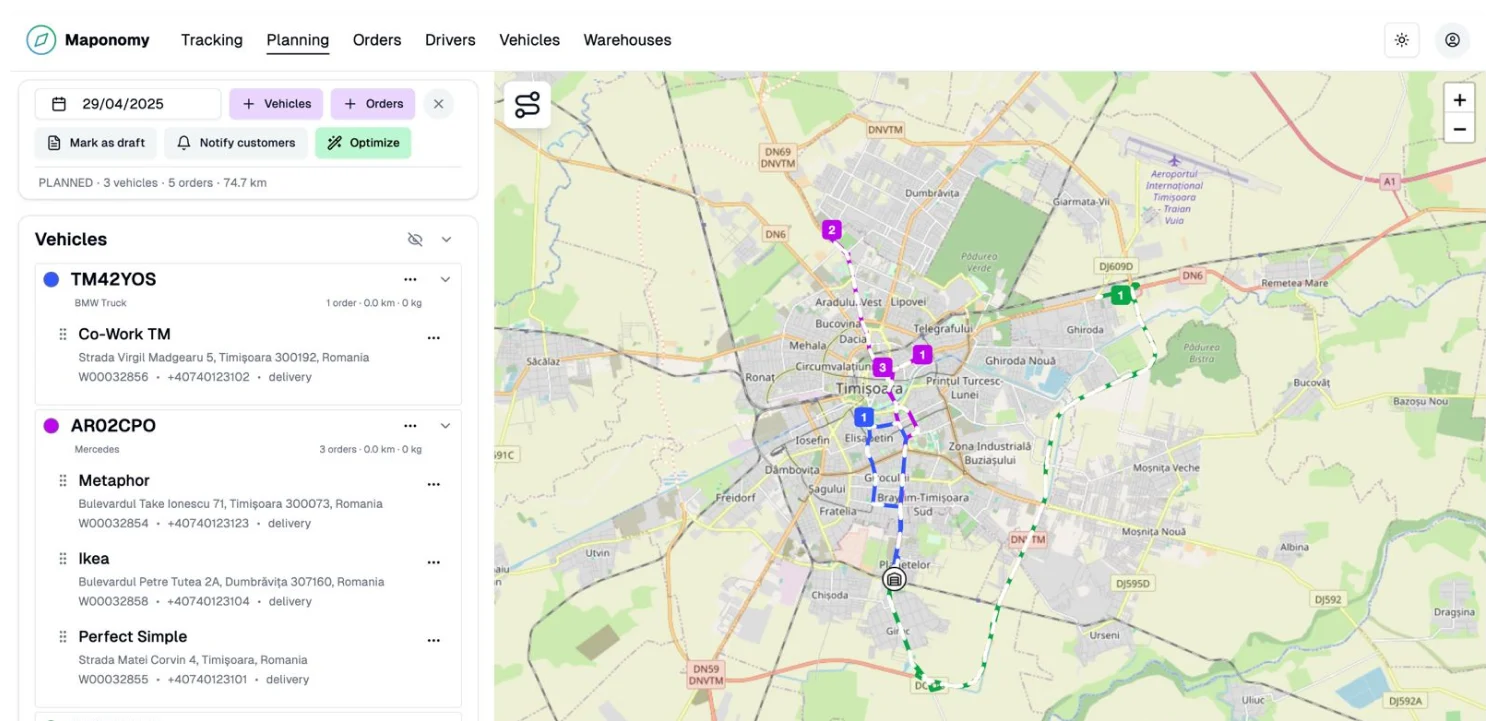
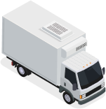
Automatically generate efficient delivery routes based on distance, time, and constraints. Combine automation with manual adjustments to reduce costs, improve truck utilization, and ensure on-time deliveries.

Automated Dispatch Planner empowers logistics teams with seamless route optimization, maximizing fleet capacity and minimizing costs. Effortlessly plan and adjust routes to meet delivery demands, ensuring timely, efficient, and cost-effective transportation solutions for your business.
The Automated Dispatch Planner optimizes delivery routes, automating dispatch management for transport companies. It reduces costs, improves efficiency, and ensures timely deliveries through real-time data and dynamic route adjustments.
Courier Navigation is a mobile-first solution designed to streamline last-mile delivery operations. The app empowers couriers with optimized route navigation, real-time tracking, and smart delivery scheduling to ensure faster and more accurate deliveries. Built with efficiency in mind, it features turn-by-turn directions, live customer updates, proof-of-delivery capture (signature/photos), and automated delivery status logging. Ideal for logistics providers, e-commerce businesses, and courier companies looking to enhance delivery accuracy and driver productivity.
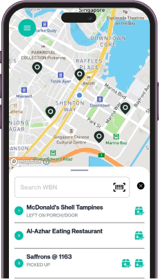
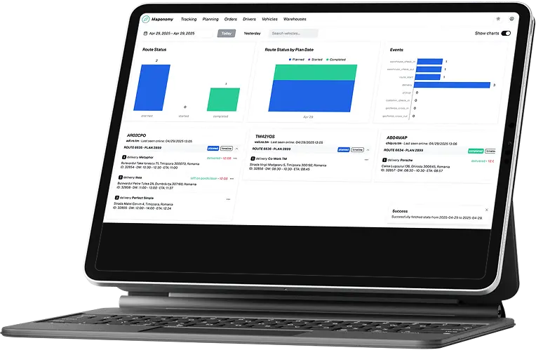
Enhanced Tracking with Live Tracking Dashboard
Achieve real-time control with Multi-Channel Integration, seamlessly connecting with
diverse channels. Consolidate data for a unified logistics management experience,
enhancing visibility and control across your entire supply chain for more informed
decision-making.
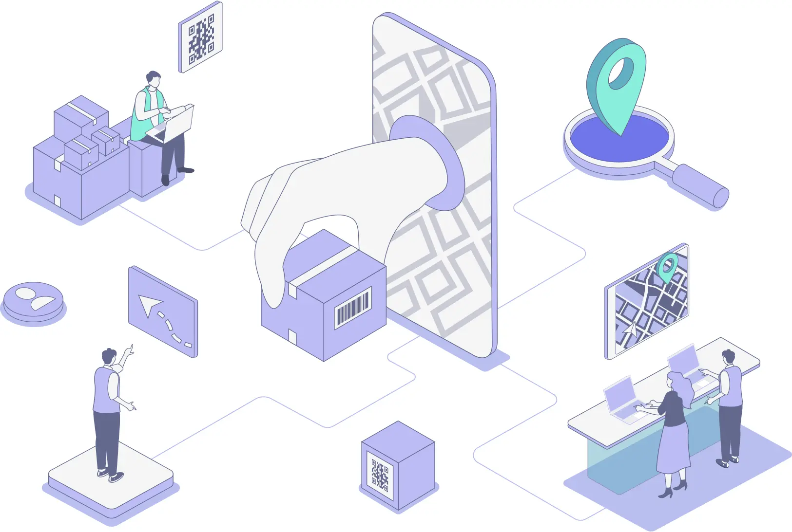
A step-by-step workflow showcasing how warehouse managers, dispatch planners, and drivers collaborate efficiently—from order preparation to successful delivery—using real-time notifications, route planning, and live status updates.
Prepares order details, load info, and delivery priorities

Notifies Driver: “Route assigned with details.”
Receives order info, creates route plan, assigns vehicle
Monitors trip progress, handles issues
🔔 Notifies Warehouse: “All deliveries completed.”
Receives route assignment, reviews and confirms
Starts trip using navigation tools
Sends real-time updates (delays, proof uploads)
Marks delivery complete, uploads proof
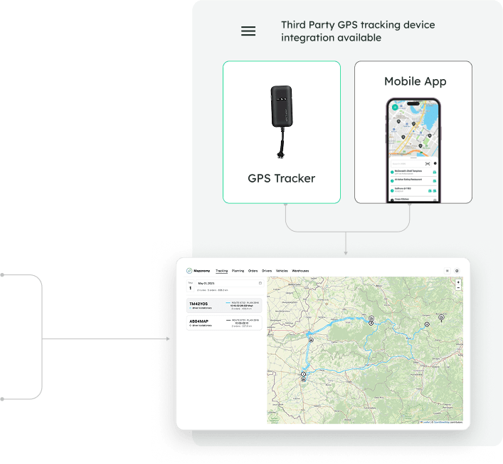
Track real-time metrics such as delivery completion rates, route statuses, event logs, and driver activity to optimize your logistics workflow and identify areas for improvement.
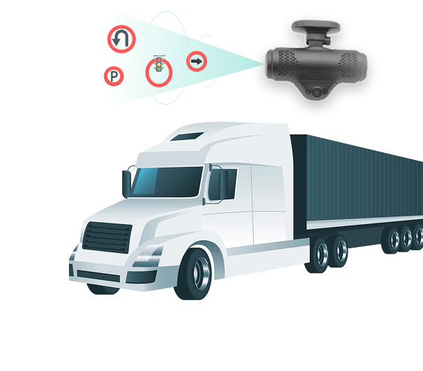
The Dashcam and Streetview Interface enhances route planning and safety monitoring by combining real-time dashcam footage with interactive streetview navigation. It provides a clear, on-the-ground view of routes, helping logistics teams make informed decisions, verify delivery points, and ensure driver accountability.
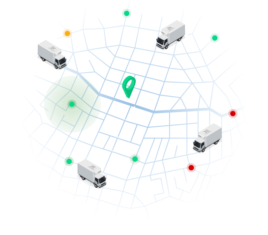
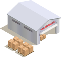
Maximize transportation network efficiency with Network Optimizer, optimizing
routes, sourcing warehouse or plant and minimizing transit times. Enhance overall
supply chain performance, improving efficiency and reducing costs through strategic
optimization of transportation routes and loading location selection.
We are on a mission to digitise fleet & logistics operations for businesses to improve efficiency, increase safety and reduce cost using IoT and AI