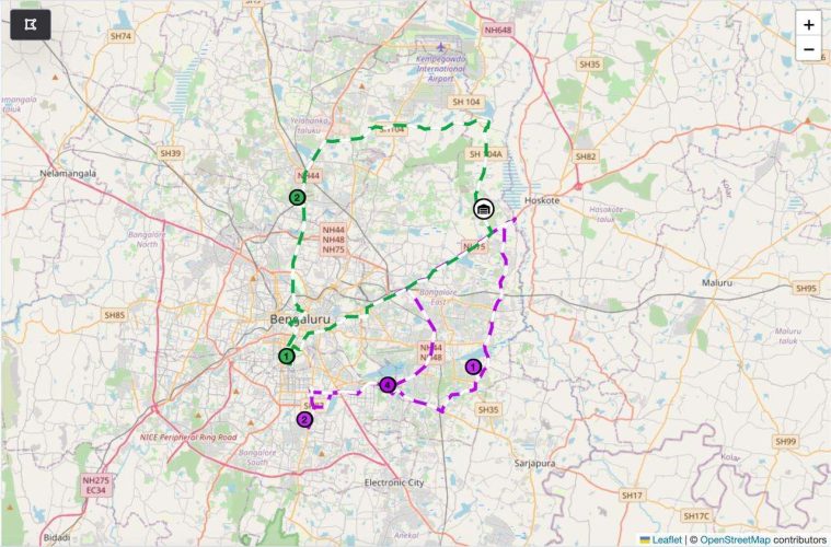
Rural last-mile deliveries present unique challenges. Sparse infrastructure, long distances, and unpredictable weather conditions make rural logistics much more difficult than urban deliveries. Standard mapping solutions, often fall short in these scenarios. This is where Maponomy’s custom map APIs excel—offering solutions specifically designed to tackle rural logistics challenges.
1. Handling Sparse Infrastructure
In rural areas, limited roads and infrastructure can lead to inefficient routing and missed deliveries. Maponomy’s custom maps are built with up-to-date data on even the most remote areas, ensuring delivery routes avoid unreliable roads and account for:
- Seasonal road closures or unpaved routes,
- Alternate paths to bypass difficult or inaccessible terrain.
By tailoring routes to the available infrastructure, Maponomy helps logistics companies maintain on-time deliveries even in remote areas
2. Optimized Routes for Long Distances
Rural deliveries often involve long distances between stops, which can increase fuel consumption and travel time. Maponomy’s custom maps optimize these routes to:
- Minimize travel time and backtracking,
- Reduce operational costs by suggesting efficient, shorter routes.
By cutting down unnecessary driving, Maponomy’s system improves delivery efficiency and cost-effectiveness.
3. Navigating Geographic Challenges
Rural areas frequently present geographic obstacles such as hills, rivers, or rough terrain. Standard mapping systems do not consider these factors, leading to delays or failed deliveries. Maponomy’s custom maps are equipped to handle:
- Difficult terrain by suggesting alternative routes,
- Elevation changes and natural barriers that could slow down deliveries.
This adaptability ensures that rural deliveries are completed on time, no matter the obstacles.
4. Improving Customer Experience in Remote Areas
Rural customers may expect longer delivery times, but they still value accurate ETAs. Maponomy’s custom map APIs allow logistics companies to:
- Provide real-time updates to customers in remote areas,
- Offer more precise ETAs that consider road conditions and geographic constraints.
This enhances customer satisfaction, ensuring that rural deliveries are just as reliable as urban ones.
Conclusion
Rural last-mile deliveries come with their own unique set of challenges, from sparse infrastructure to geographic barriers. Maponomy’s custom map APIs are specifically designed to tackle these issues, providing optimized routes, real-time data, and more accurate ETAs. For logistics companies looking to improve rural operations, Maponomy is the game-changing solution that boosts both efficiency and customer satisfaction.

